

Maps of Hofheim, Bavaria
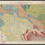 Geognostische Karte des Thüringer Waldes. Südliche Hälfte1855|Credner, Heinrich1:200 000
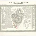 Das Franken-Weinland1837|Hellrung, Carl Ludwig1:505 000
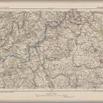 Kissingen 100, uit: [W. Liebenow's Special-Karte von Mittel-Europa]1870|Johannes Wilhelm Liebenow 1822-18971:300 000
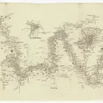 Der Lauf des Mains1844|Spruner, Karl von1:370 000
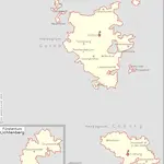 Herzogtum Sachsen-Coburg und Gotha 1830 Verwaltungsstruktur1830|Kunz, Andreas ; Moeschl, Joachim Robert
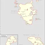 Herzogtum Sachsen-Coburg und Gotha 1826 Verwaltungsstruktur1826|Kunz, Andreas ; Moeschl, Joachim Robert
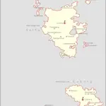 Herzogtum Sachsen-Coburg und Gotha 1834 Verwaltungsstruktur1834|Kunz, Andreas ; Moeschl, Joachim Robert
1600
1650
1700
1750
1800
1850
1900
1950
2000


Old maps of Hofheim, Bavaria
Discover the past of Hofheim, Bavaria on historical maps
Old maps of Hofheim, Bavaria
Discover the past of Hofheim, Bavaria on historical maps
Looking for a Google Maps API Alternative?