Maps of Salmaise
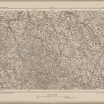 1870|Johannes Wilhelm Liebenow 1822-18971:300 000
 1869|Migeon, J.1:175 440
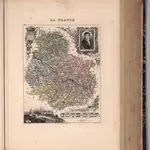
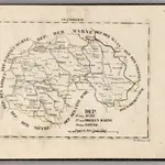
 1856|Levasseur, Victor.1:563 000
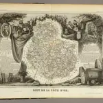
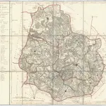 1810|P. G. Chanlaire et Dumez1:260 000
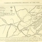 1871|OLLIER, Edmund.
 1825|Hermann, O.1:400 000
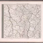 1875|Stieler, Adolf1:740 000
Old maps of Salmaise
Discover the past of Salmaise on historical maps
Old maps of Salmaise
Discover the past of Salmaise on historical maps
Looking for a Google Maps API Alternative?